.png)
At the time of announcing the India–US Interim Trade Agreement framework, the United States Trade Representative (USTR) released a map that clearly showed the entire Jammu and Kashmir region as Indian territory. The map included Pakistan-occupied Kashmir (PoK) and Aksai Chin, both of which are disputed areas.
The map was part of the official material shared by the USTR while outlining the scope of the interim trade deal between the two countries.
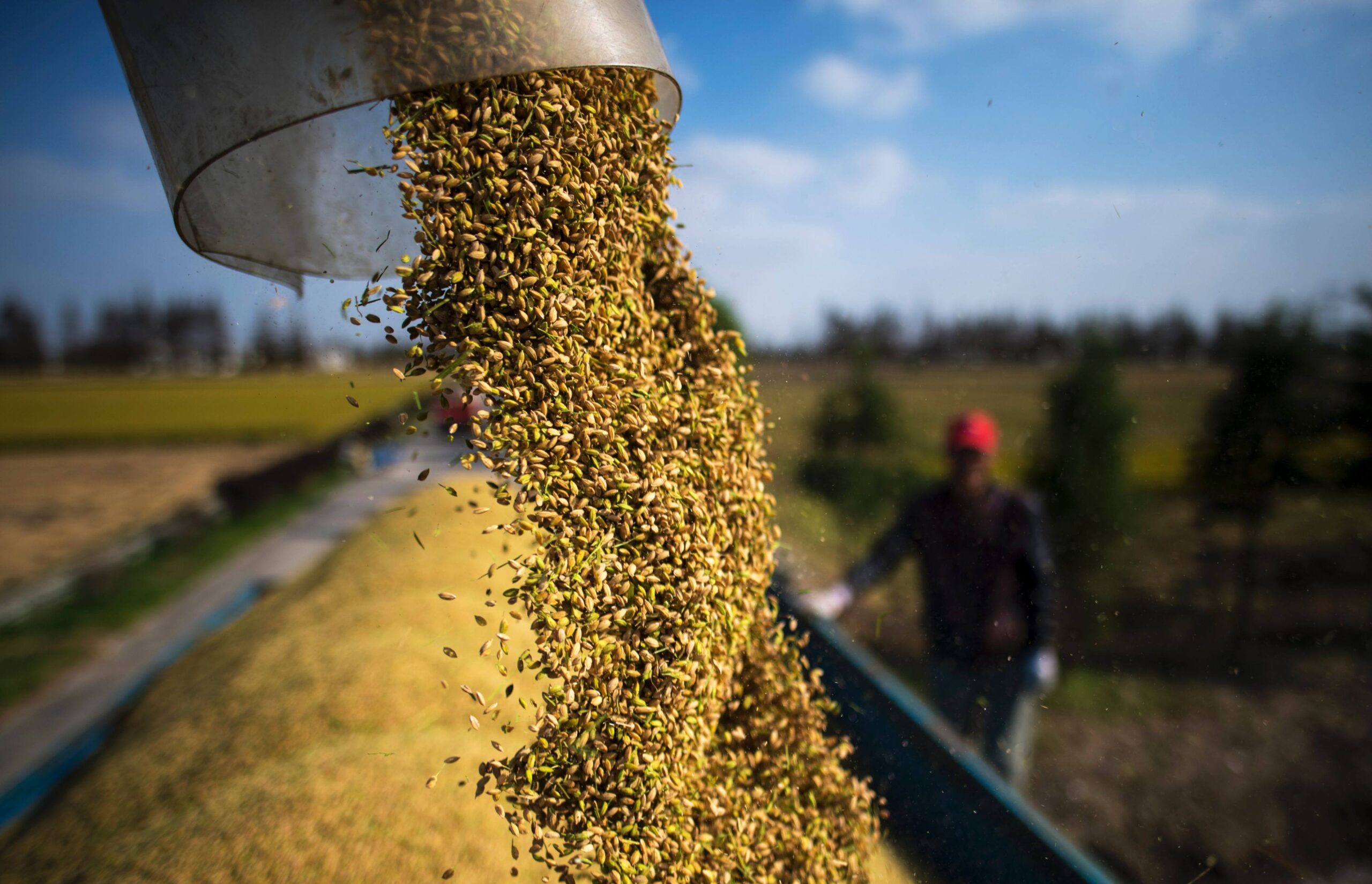
From tree nuts and dried distillers’ grains to red sorghum and fresh and processed fruit, the U.S.-India Agreement will provide new market access for American products. pic.twitter.com/mqpP10LJp1
— United States Trade Representative (@USTradeRep) February 6, 2026
...


 (1).jpg)
 (1).jpg)
 (1).jpg)
 (1).jpg)
 (1).jpg)